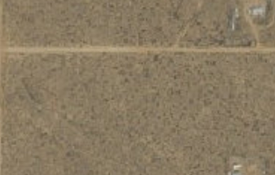
FOR SALE
1 acre
Rio Rancho Estates, Sandoval County
5,809 FT ELEVATION
$981.47a month
$99 down · or $45,000 outright
The orange line is the parcel as the county’s own map draws it.
NO GROUND PHOTOS OF THIS ONE YET — THE AERIAL ABOVE IS WHAT WE HAVE
County mapping is a record, not a survey — only a licensed survey establishes where the corners actually are on the ground. Drag to move the map, scroll or pinch to zoom.
We are not aware of a well on this land, so assume you would drill one. State records for 50 wells within 2 miles show water anywhere from 540 to 995 feet down. Half of them were shallower than 800 feet.
Those are other people’s wells, not this one — depth can change a lot over a short distance. A local driller can tell you what to expect here.
There is a high-voltage line in the area, but the records do not name the company that owns it. The county can tell you who supplies power here.
Any line the records show is a cross-country one, not a household connection.
The county record shows no zoning recorded for this land, and we are not aware of a homeowners association. A county building permit would still be needed.
The county decides what may be built here, and their answer is the one that counts.
That tax figure came from the seller and we have not verified it. Check it yourself with the Sandoval County property records ↗ using account R099135. Or call (505) 867-7562.
Some come from government records we can point you to. The rest came from the seller and nobody has checked them. We keep the two apart so you always know which is which — but a government record can be out of date or wrong too, so treat everything here as a starting point to check, not as settled.
How the county describes this land on paper. You do not need to understand it to buy — your title company will.
Driving time and road distance from this parcel, routed over OpenStreetMap. Out here the road often runs the long way round, so these are longer than the distance you would measure on the map.
We would rather you checked than took our word for it. These are the offices that hold the answers, and you do not need us to talk to them.
Follow any of these and check for yourself. Records change, and nothing on this page is a substitute for confirming it with the county before you buy.
Assessor CAMA data compiled statewide. Acreage and legal descriptions are reliable; ownership and assessed values lag. Not a substitute for a title search or survey.
Elevation is sampled at the parcel centroid, not averaged across the lot.
Depths are from NEIGHBOURING permitted wells, not this parcel. They indicate what drillers have hit nearby; they are not a guarantee of water on this lot.
This detail was entered by the seller and has not been checked against any public record. Verify independently before purchase.
Aerial imagery is not current. Recent construction or road work may not appear.
Check it yourself before you buy. This land is sold as-is, where-is, on your own inspection. Nothing on this page is offered as a warranty or guarantee. Public records can be out of date or wrong, zoning and permit rules change, and a county parcel map is not a survey. Confirming the boundaries, the taxes, what you may build and anything else that matters to you is the buyer’s responsibility — and the offices that can confirm it are listed above. Prices and terms can change until a contract is signed. Our terms of sale apply to every purchase.
ALL LAND IN SANDOVAL COUNTY · OWNER FINANCED · GUIDES
Other land we own nearby, at a similar size and price.
Rio Rancho Estates, Sandoval County
5,809 FT ELEVATION
$99 down · or $45,000 outright
Rio Rancho Estates, Sandoval County
5,633 FT ELEVATION
$99 down · or $30,000 outright
Rio Rancho Estates, Sandoval County
5,631 FT ELEVATION
$99 down · or $30,000 outright